Belize
Tags: Belize, food, Glover's Reef, Lighthouse Reef, sailing, under water
Date: February 15, 2019
In early December, we sailed for Belize which is the neighboring country to the south of Mexico on the Caribbean side. It is a small country mostly known for its barrier reef, which is the second longest in the world. Belize is about 300 km long and 100 km wide and has a population of about 400.000 people. It was known as British Honduras until 1973 when the name changed to Belize. In 1981 it became an independent country.
Logging used to be the big industry in Belize, but now tourism and agriculture are most important. The tourism both focuses on the reefs with beaches, fishing, snorkeling and diving, but the mainland is also a popular destination with lots of jungle and exotic wildlife. We focused mostly on the water on our trip.
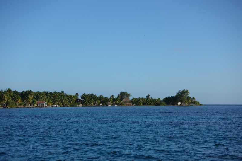
After checking in in San Pedro in the northern part of Belize, we sailed south. We anchored in different places. This is where we stopped at Water Cay:
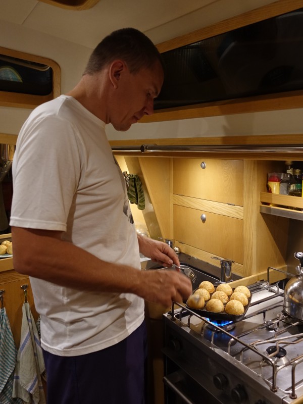
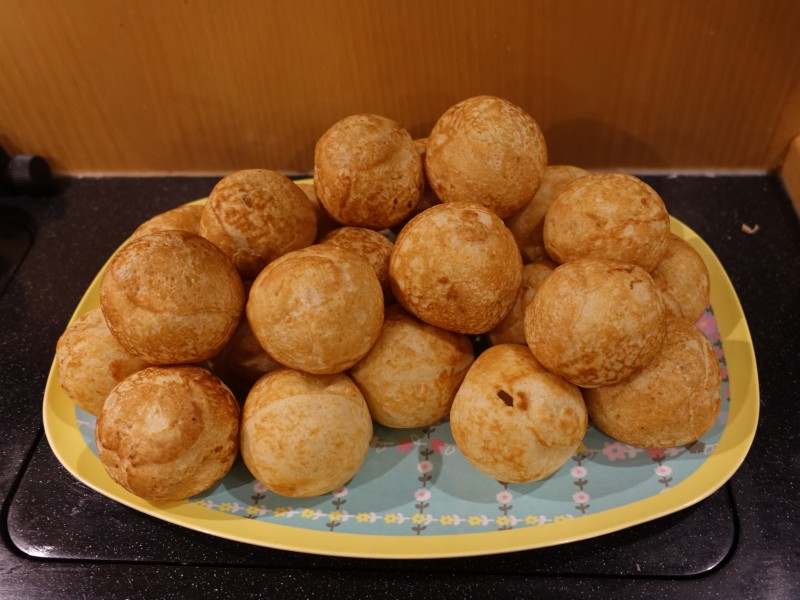
Even in the tropics, a few Christmas traditions are nice, so in December Bjarne made "æbleskiver":
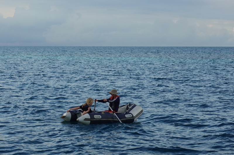
After New Year's, our friends Jakob and Louise and their two children, Liv and Alberte, came to visit. We sailed out to Glover's Reef, which is one of the three atolls in Belize. Here, Louise and Liv are going for a little rowing trip in our old dinghy:
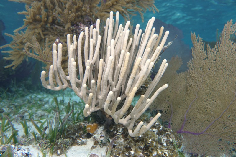
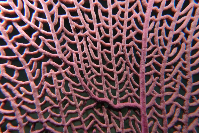
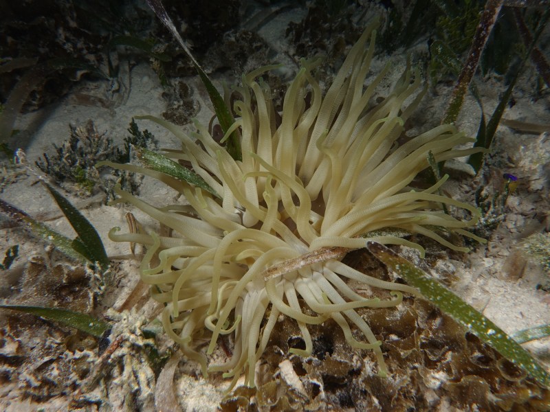
Jakob was the one that convinced me (Bjarne) to start diving many years ago. So we went diving one day and on another day we played with the under water camera while snorkeling. First a bunch of the classic motives:
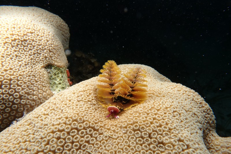
And a different one I haven't seen before:
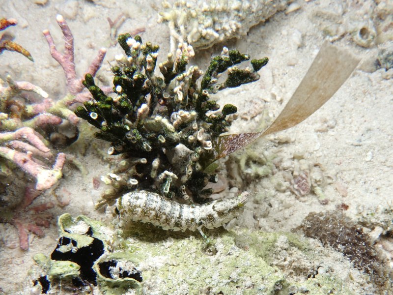
It must a sort of shrimp.
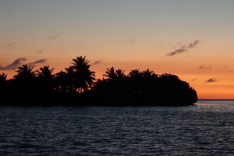
A nice tropical sunset behind Long Cay at Glover's Reef:
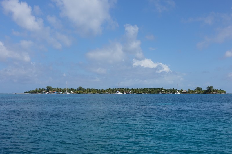
Later, we decided to head out to Lighthouse Reef, which is the atoll furthest out. On the way, we again passed Water Cay:
And Tobacco Cay:
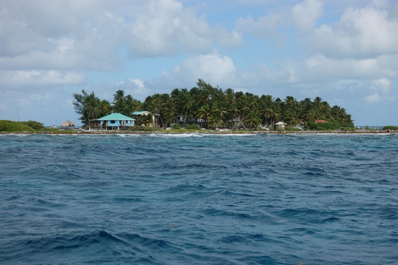
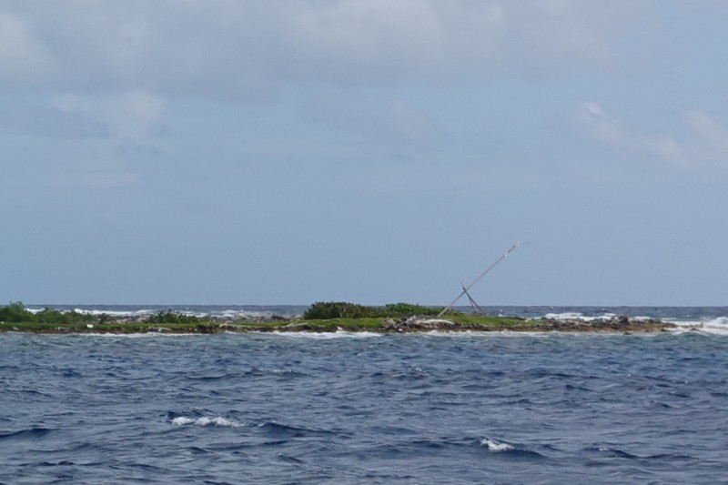
The tall construction on the beach is probably an old fashioned light to help boats navigate the reef.
The Great Blue Hole is one of the big attractions in Belize. It is a blue hole in the middle of the outermost reef called Lighthouse Reef. It goes straight down to around 120 meters and it is around 250 meters in diameter. It is a little difficult to take a picture of a hole in the bottom of a reef. This is the best we could come up with:
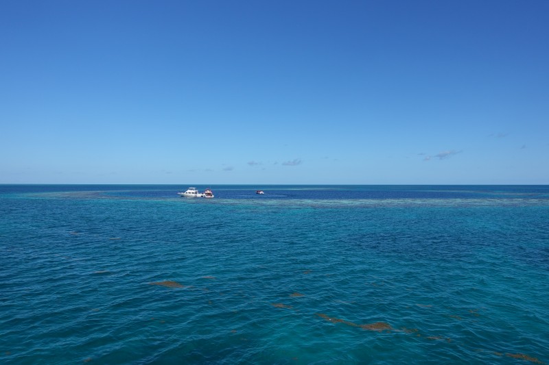
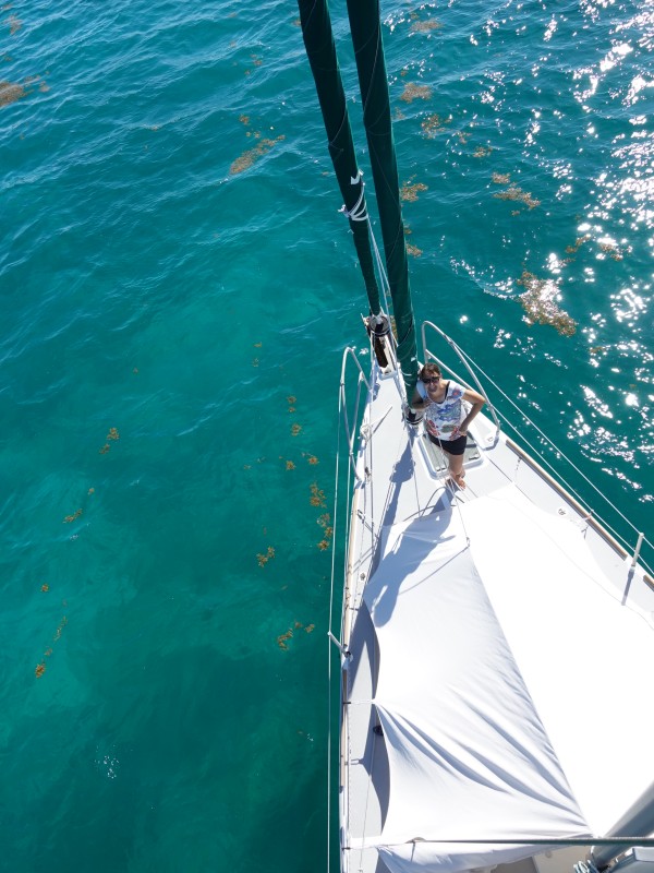
Click on the picture and you can see the hole as the darker colored water with dive boats in it. I climbed to the spreaders of the mast to take the picture:
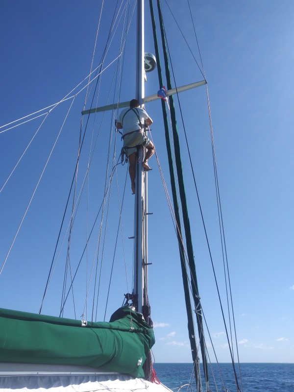
Felicie is making sure that I don't fall down:
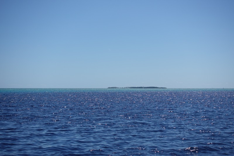
The blue hole and an island called Half Moon Cay are designated as a natural monument in Belize. Because of the winds and the nice diving elsewhere, we never actually made it to Half Moon Cay. Here it is in the distance:
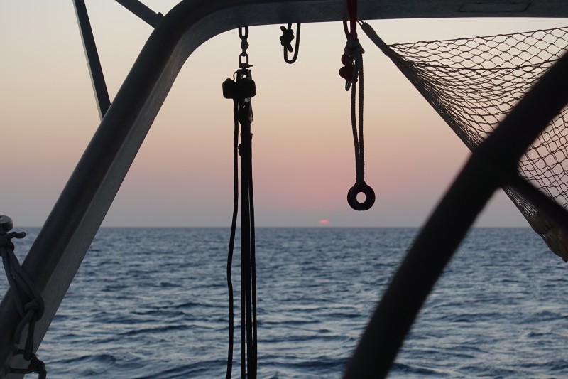
Felicie took an artistic sunset picture:
Here is a map showing all our sailing in Belize over the winter:
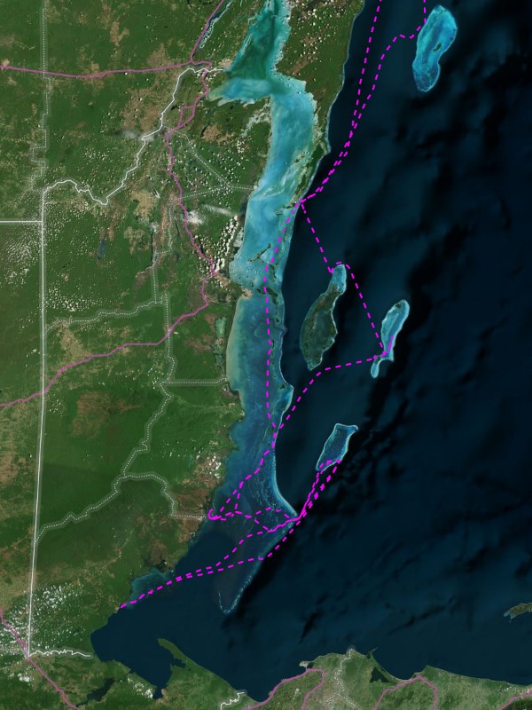
The northern part of the map is Mexico, while the west is Guatemala. The eastern part of the coastline at the bottom is Honduras. The borders are the solid white lines. The three atolls off the Belize coast are clearly seen, while the Mexican Chinchorro Bank atoll is further to the north. We stopped there for the night on our way back to Puerto Aventuras, but did not go snorkeling or diving there.