Volcano in Chiapas
Date: March 13, 2019
After our day in Tabasco, we drove south to Chiapas and the mountains. Our first stop was at a volcano called "El Chicón". It was a long drive to get there on some small bad roads. After parking the car it was still around a six km walk to get to the top of the crater rim and another six back.
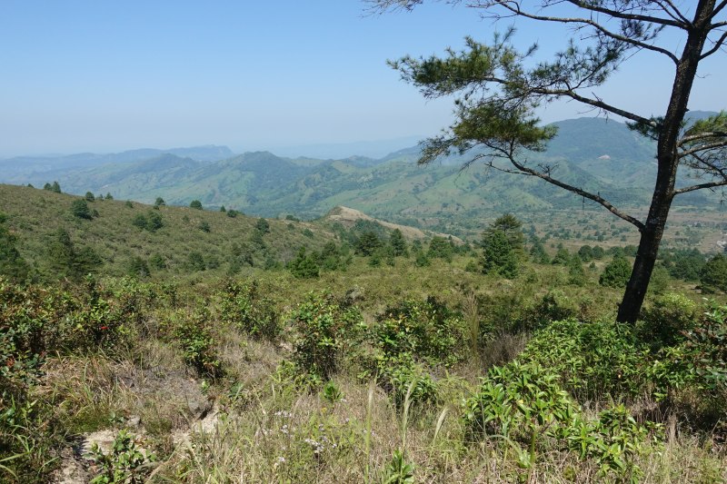
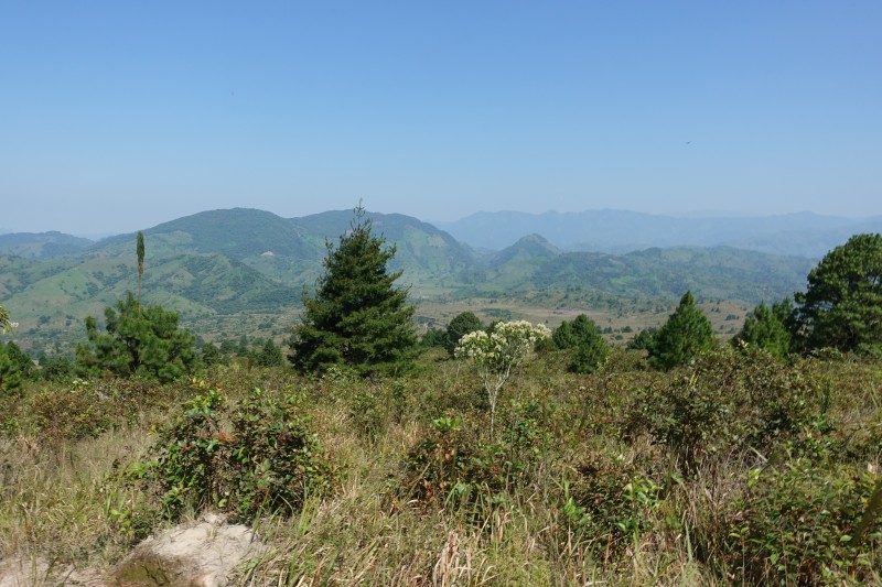
The landscape was very open. This is close to the top looking towards where we came from:
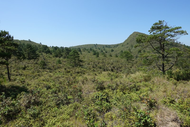
And looking towards the crater:
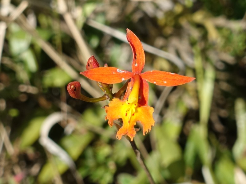
These pretty orange orchids were plentiful:
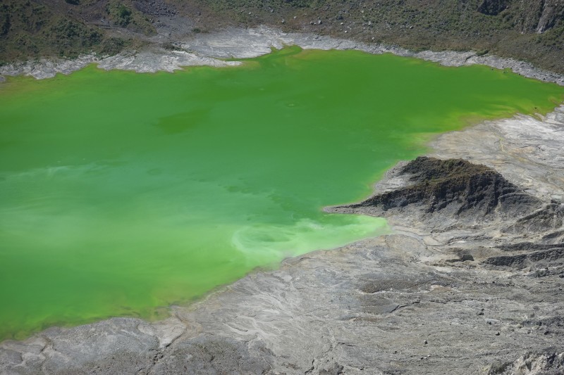
We went from 600 to 1,050 meters in altitude. When we got close to the rim, we could start smelling sulfur, and suddenly we could see the spectacular inside of the crater with a sulfur lake 150 meters below:
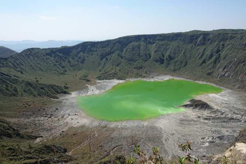
It doesn't look like a healthy place to take a swim.
The volcano last erupted in the spring of 1982 causing a lot of damage. The last eruption before that was around 1360, so the 1982 eruption came as a surprise. Before the 1982 eruption, the volcano was covered by forest, but almost everything within 8 kms was destroyed and ash fell much further away. It also let out about 7 million tons of sulfur dioxide, which was enough to affect the climate worldwide. No wonder the area seems a little bare...
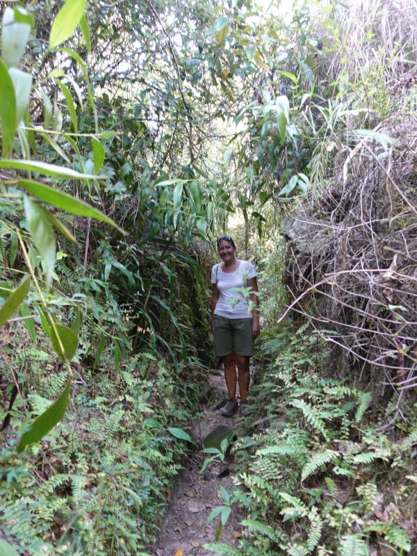
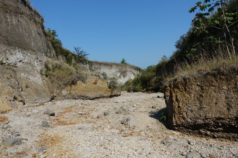
On our way back down:
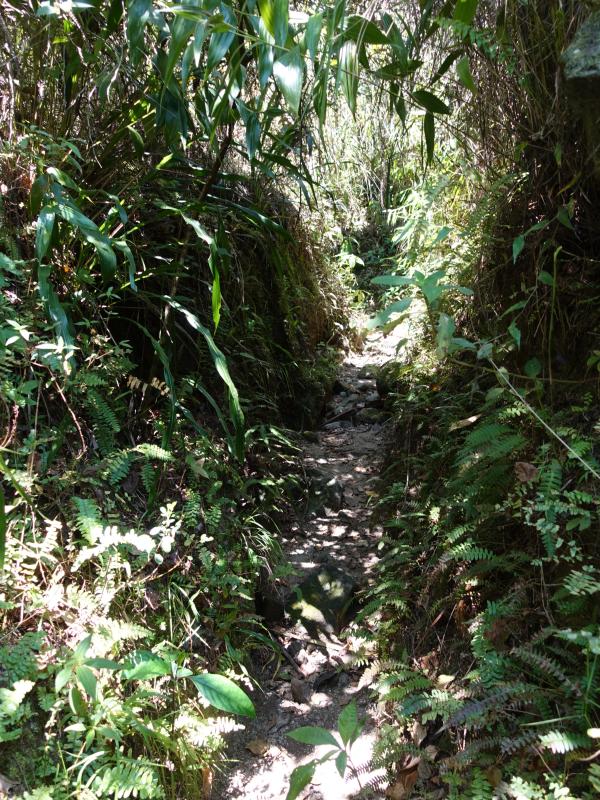
Part of the route went through a narrow canyon:
And a wider section that must carry lots of water in the rainy season:
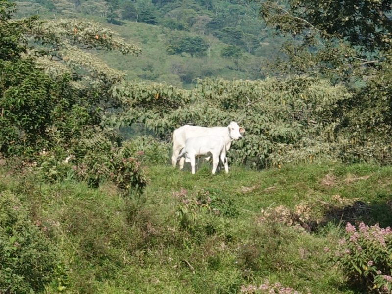
There were some cows around and we also met some young cowboys on horseback.
Here is one of the cows:
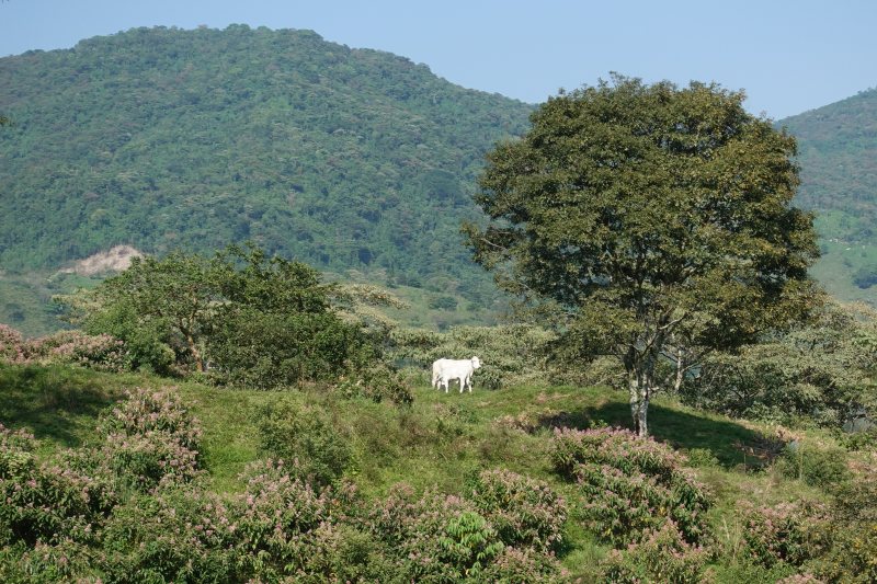
Try counting its legs.
There is a completely white calf in front of it, getting a drink of milk: